Footnote #10
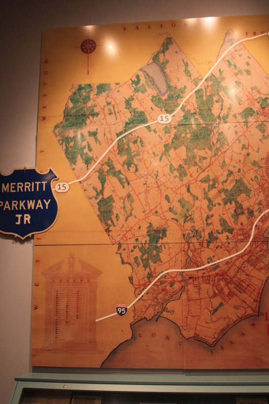
This 1937 land use map is included in the
exhibit for four main reasons. First,
staff chose the map because it helps visitors to make connections between
history and geography. Second, the
museum already had the map from a previous exhibit so they did not need to
create something new. Third, when used
in the previous exhibit many visitors really enjoyed looking at the map,
especially to figure out where today’s buildings are (this is based on
observations of visitors and on feedback collected). And fourth, the map is
very effective at helping visitors to understand the Fairfield after World War
II and how development affected the landscape.